
 Active
1 / 7
 Listing courtesy of eXp Realty, LLC, 888-814-9613
Glenn Creek RD #300
Allegany, OR 97407 · Coos County
RMLS # 275958542
About this home
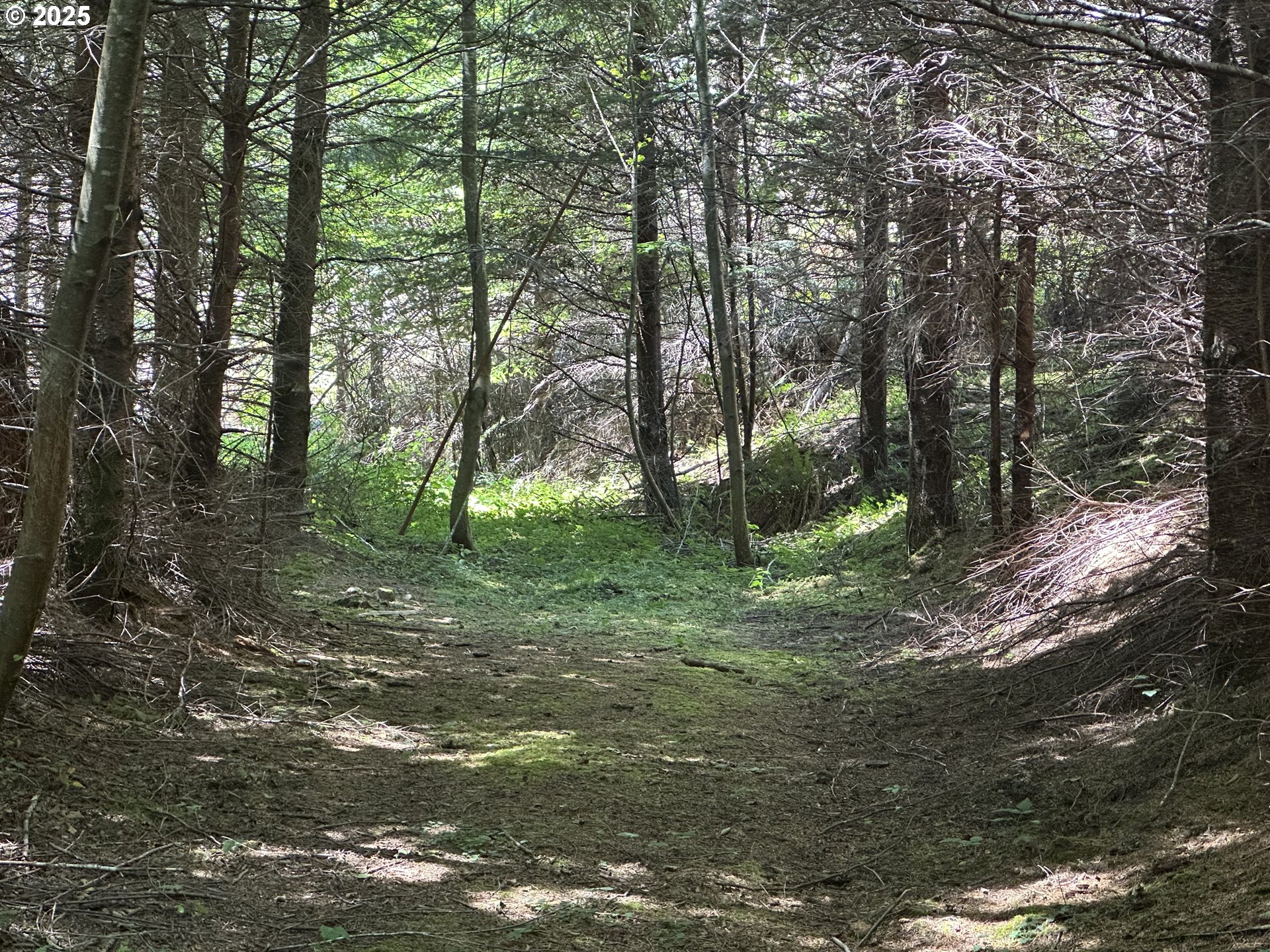
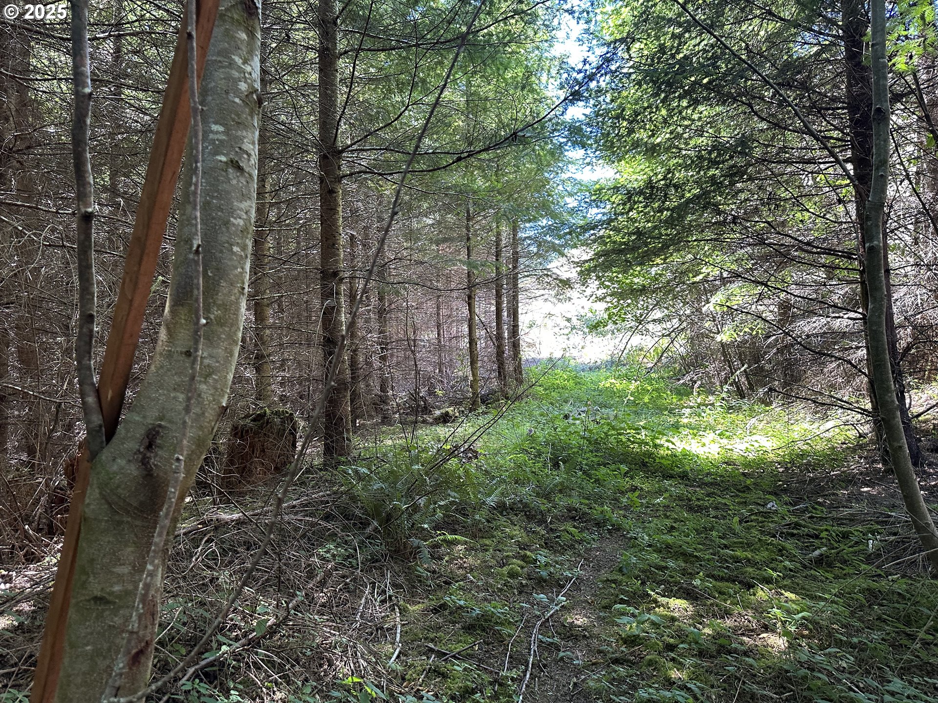
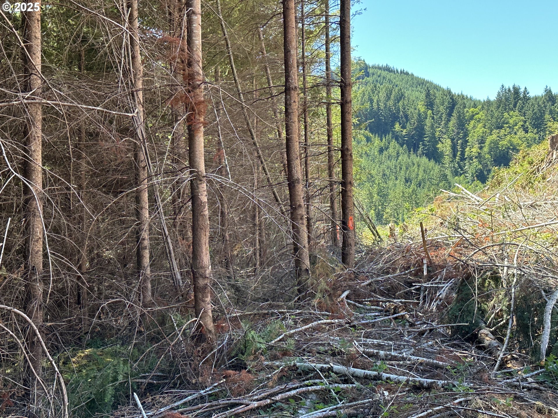
Amazing 1.2 acres of beautiful raw forest land that is completely off the grid near Gold and Silver Falls State Park. This could be the ultimate recreational getaway to enjoy the peacefullness and serenity of nature. Per the County Planning Department, a house cannot be sited on this property; but camping is permitted up to 45 days a year. There is a platted road on file with the county for access. Property is zoned forest with a Big Game overlay. If you are lookimg for seclusion and privacy, this is definitely a parcel to consider. Buyer and Buyers Agent to do all due diligence in regards to usability of property and any/all information provided.
Property Details
- View
- Yes
- View details
- Mountain(s),Trees/Woods
- Lot size (acres)
- 1.2
- Lot size (sq ft)
- 52,272
- Lot size range
- 1 to 2.99 Acres
- Lot features
- Hilly,Private,Secluded,Trees,Wooded
- Attached garage
- No
- Other structures
- None
- Road surface
- Dirt,Gravel
- Zoning
- F
- County
- Coos
- MLS area
- 260 - Coos County
- Elementary school
- Coos Bay
- Middle school
- Coos Bay
- High school
- Marshfield
- Internet
- Satellite
- Directions
- PROPERTY IS APROX 21 MILES UP LOON LAKE RD AND IS BEYOND THE LOCKED WEYERHAEUSER GATES
- Annual property taxes
- $114
- Tax year
- 2024
- Tax ID
- 80701
- Listing terms
- Cash,Other
- HOA
- No
- Disclosures
- Disclosure
- Bank owned
- No
- Short sale
- No
- Third party approval
- No
- CC&Rs
- No
- Land lease
- No
- Type
- Land
- Subtype
- Forest
- Current use
- Raw Land,Recreational
- ADU
- No
- Availability
- Sale
- Listed on
- Sep 5, 2025
- Days on market
- 439
RMLS # 275958542 · Status: Active
Location
Glenn Creek RD #300, Allegany, OR 97407 · Coos County
Drag to move around. Use + and − to zoom. Open in Google Maps ↗
Nearby Schools
Assigned schools as listed by the seller's agent. Confirm school boundaries with the school district.
Flood and Hazard Risk
Flood zone from FEMA's National Flood Hazard Layer for this location. Hazard ratings are for the surrounding census tract from the FEMA National Risk Index. View the FEMA flood map ›
Price and Tax History
Price history
Property taxes