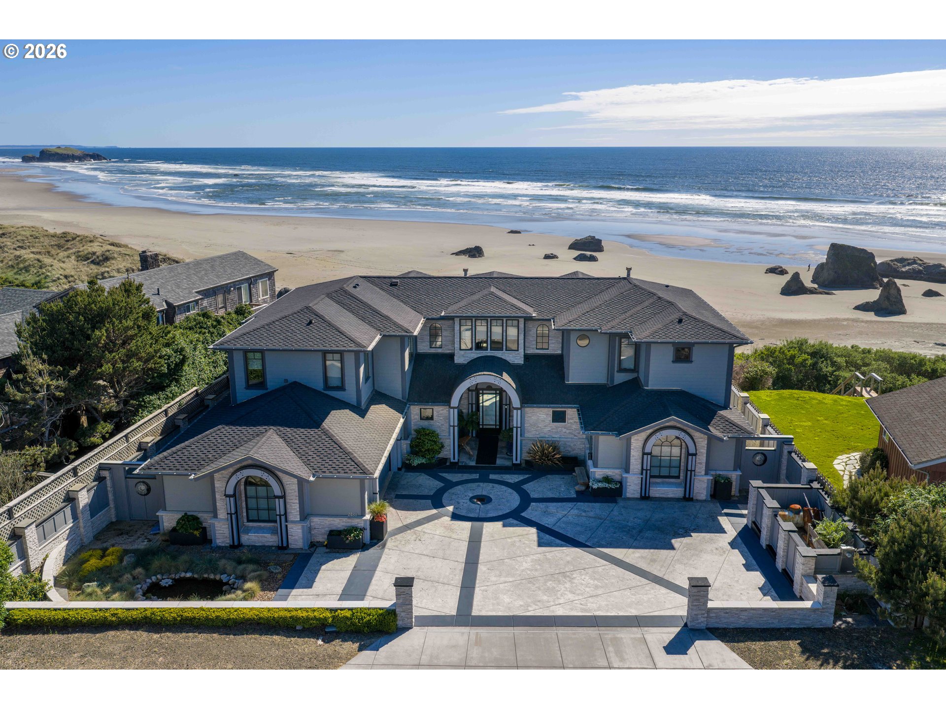
 Active
1 / 29

 Listing courtesy of RE/MAX Integrity, 541-673-3272
88184 OCEAN ESTATES RD
Bandon, OR 97411 · OCEAN ESTATES · Coos County
RMLS # 139502875
What's special
Views
Picked out from the listing description. Always confirm with us.
About this home
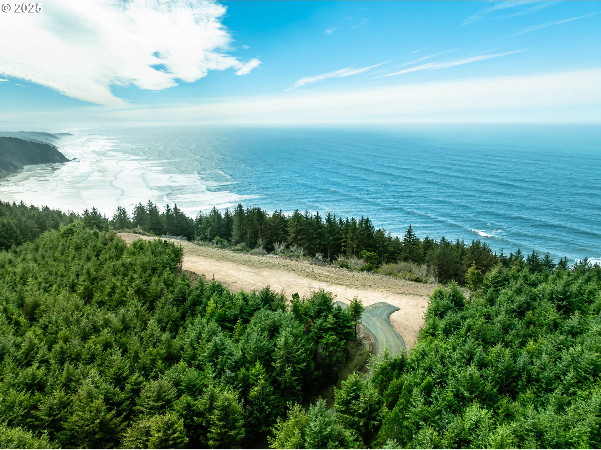
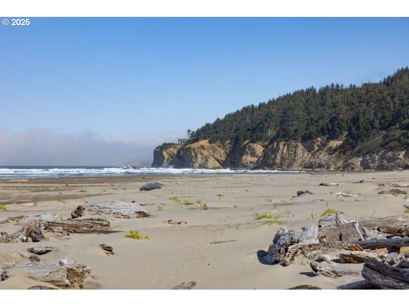
Be a part of the new 'Ocean Estates' exclusive development which is only minutes from the world famous Bandon Dunes Golf Resort and Old Town Bandon. Enjoy the ocean views, seclusion and privacy that this 4 lot development provides, while residing securely behind a gated community. You will be part of a small group to enjoy exclusive access to the majestic Sacchi Beach. With underground utilities, septic approval and domestic well, this 17+ acre lot is ready for your dream home!
Property Details
- View
- Yes
- View details
- Ocean,Territorial,Trees/Woods
- Lot size (acres)
- 17.56
- Lot size (sq ft)
- 764,913
- Lot size range
- 10 to 19.99 Acres
- Lot features
- Bluff,Gated,Ocean Beach 1/4 Mile or Less,Private Road,Secluded,Wooded
- Attached garage
- No
- Road surface
- Gravel
- Zoning
- FMU
- County
- Coos
- Subdivision
- OCEAN ESTATES
- MLS area
- 260 - Coos County
- Elementary school
- Ocean Crest
- Middle school
- Harbor Lights
- High school
- Bandon
- Internet
- Cable
- Directions
- From the Sansaria Gate, go 2/10th mile to Sacchi Lane, go right 3/10th mile to Green Gate
- Annual property taxes
- $1
- Tax year
- 2025
- Tax ID
- 587504
- Listing terms
- Call Listing Agent,Cash
- HOA
- No
- HOA amenities
- Gated,Insurance,Road Maintenance
- Disclosures
- Disclosure
- Bank owned
- No
- Short sale
- No
- Third party approval
- No
- CC&Rs
- Yes
- Land lease
- No
- Type
- Land
- Subtype
- Single Family Residence
- Current use
- Raw Land,Timber
- ADU
- No
- Availability
- Sale
- Listed on
- Oct 13, 2025
- Days on market
- 401
RMLS # 139502875 · Status: Active
Location
88184 OCEAN ESTATES RD, Bandon, OR 97411 · OCEAN ESTATES · Coos County
Drag to move around. Use + and − to zoom. Open in Google Maps ↗
Nearby Schools
Assigned schools as listed by the seller's agent. Confirm school boundaries with the school district.
Flood and Hazard Risk
Flood zone from FEMA's National Flood Hazard Layer for this location. Hazard ratings are for the surrounding census tract from the FEMA National Risk Index. View the FEMA flood map ›
Price and Tax History
Price history
Property taxes