 Active
1 / 32
 Listing courtesy of Pacific Coast Real Estate & Development, LLC, 541-808-3297
2699 N 17TH ST
Coos Bay, OR 97420 · Coos County
RMLS # 385820627
About this home
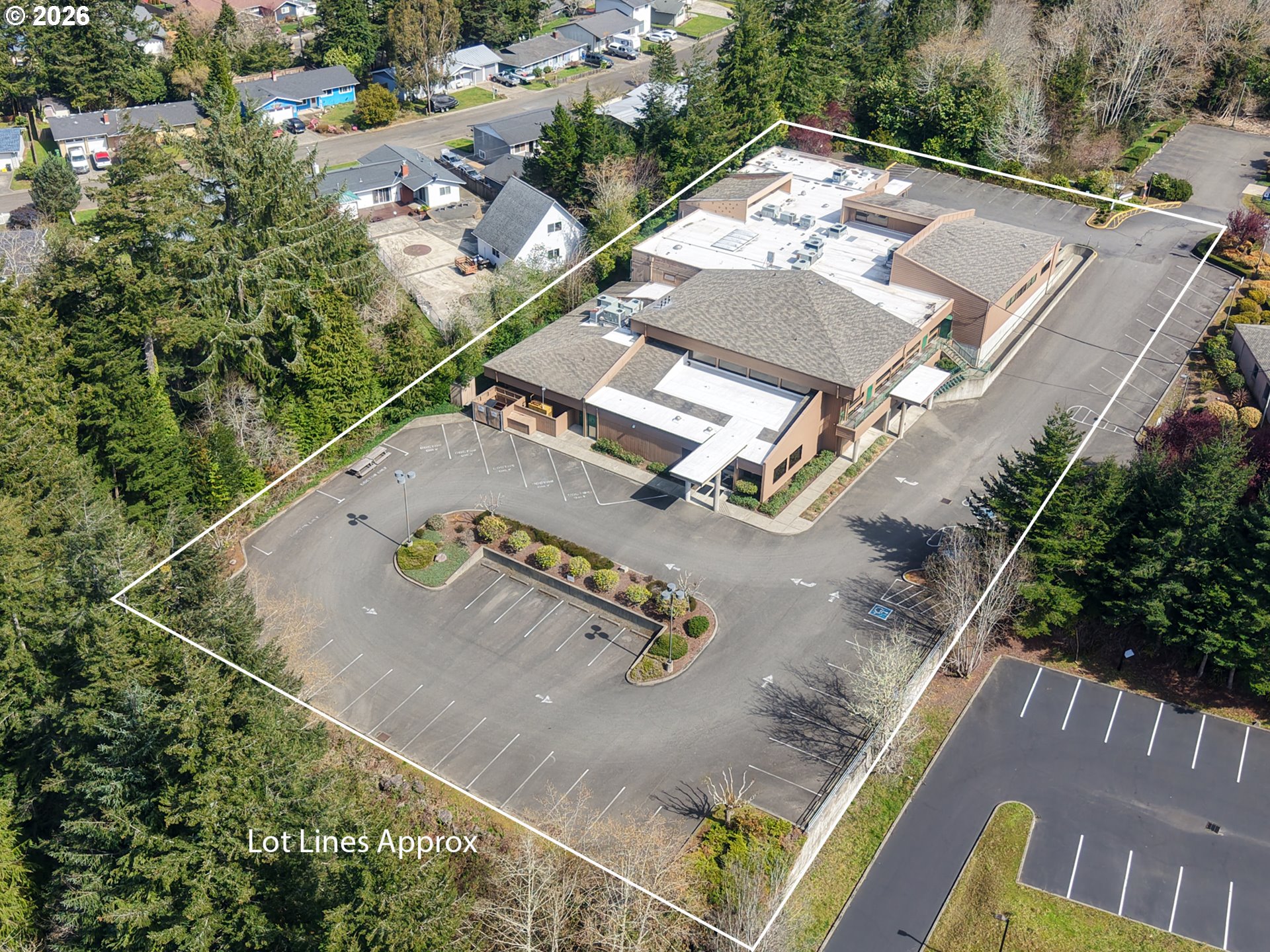
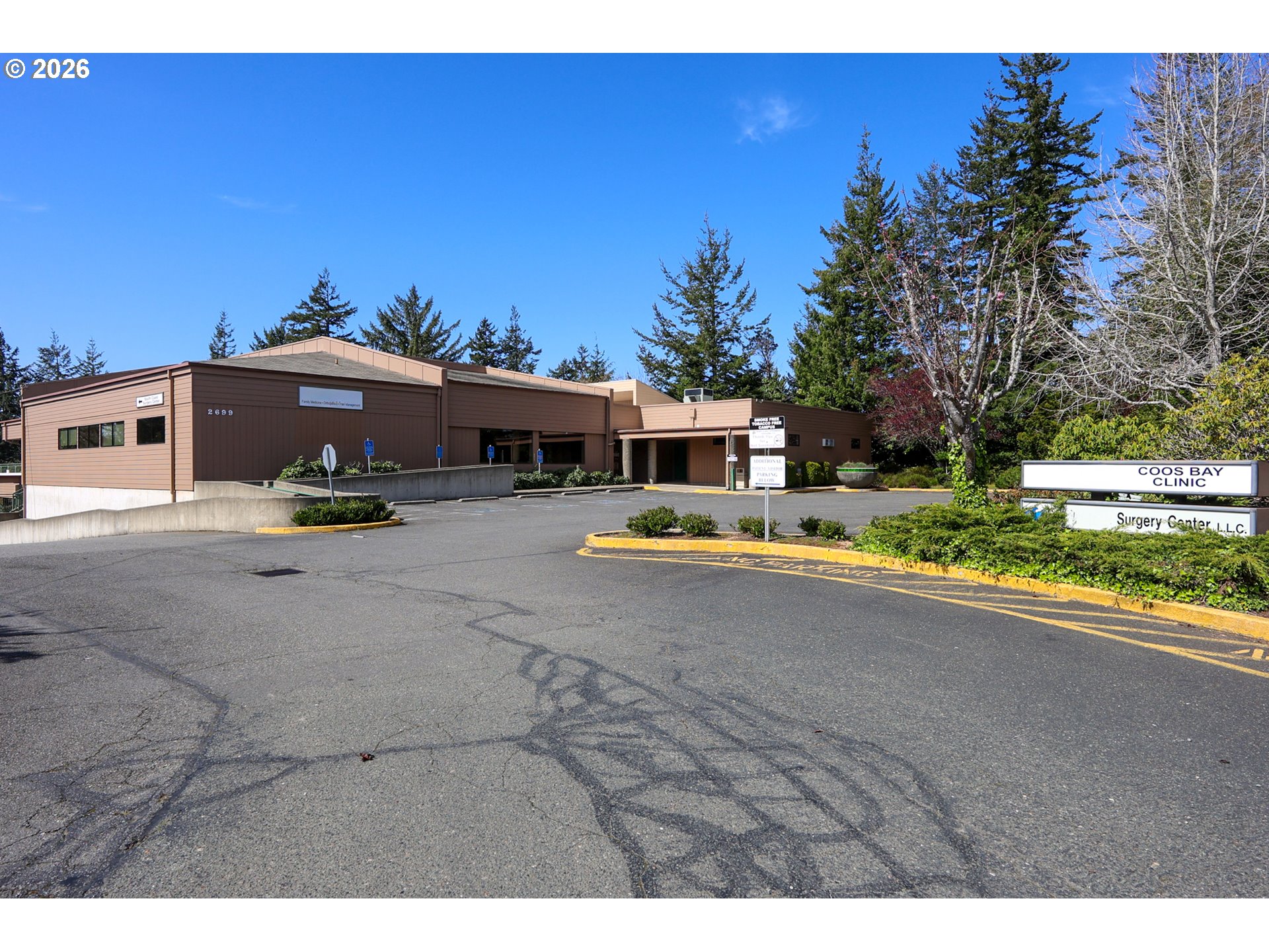
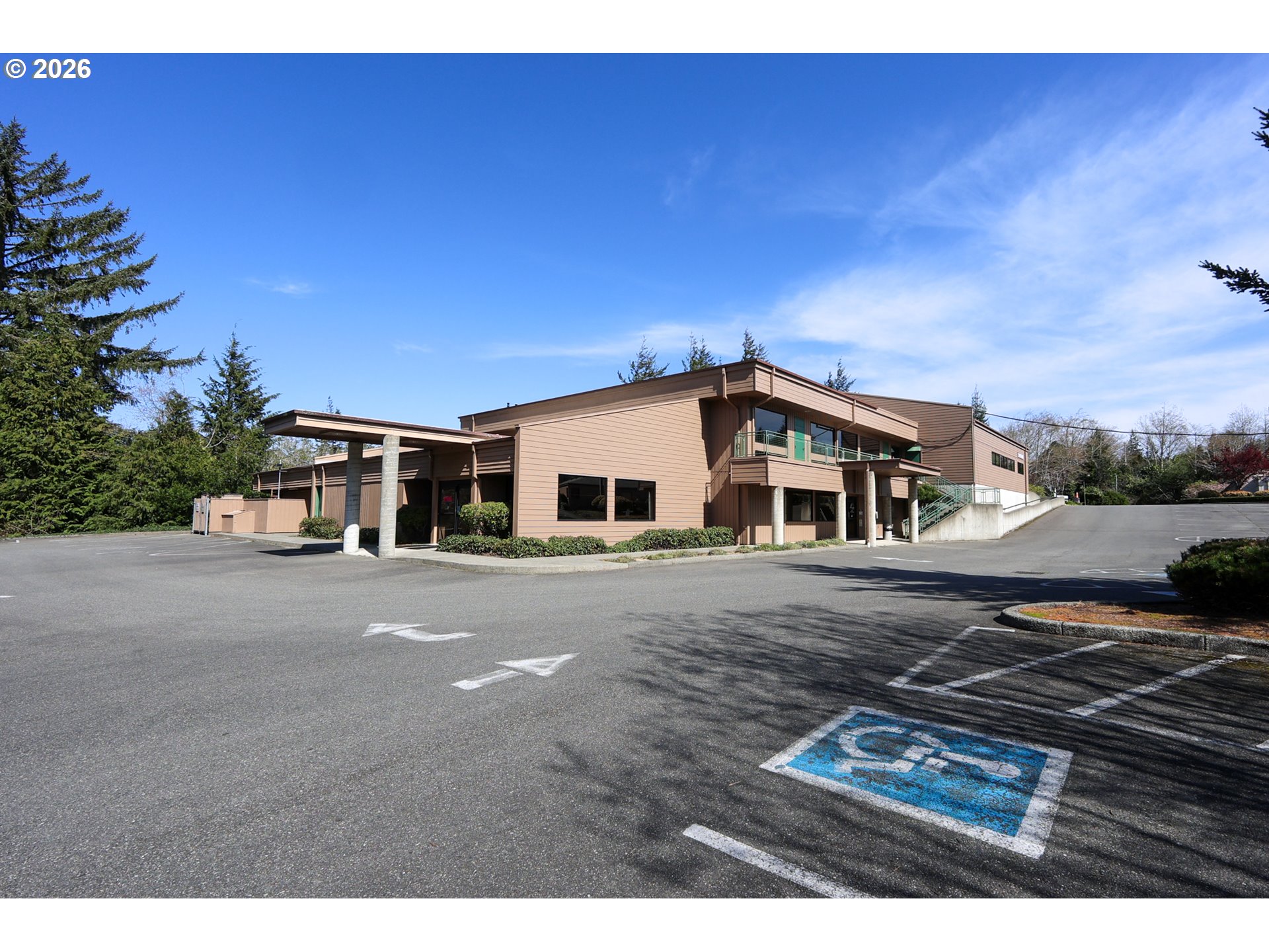
Exceptional opportunity to acquire a large-scale medical facility in a prime medical district location. This well-maintained 21,692 square foot building is situated on 1.54 acres and is ideally configured for immediate occupancy. The property features extensive improvements tailored to immediate care and orthopedic surgery operations, including X-ray capabilities and specialized treatment areas designed for efficiency and patient flow.The site offers ample on-site parking, excellent ingress and egress, and strong visibility within an established healthcare corridor. The layout and infrastructure support a wide range of medical and professional uses, making it a versatile asset for owner-users or investors alike.Offered at a compelling price, this is a rare opportunity to secure a high-quality medical facility with substantial existing improvements in a highly sought-after location.
Property Details
- Total sq ft
- 21,692
- Year built
- 1979
- Condition
- Updated/Remodeled
- Heating
- Heat Pump
- Cooling
- Heat Pump
- Fuel
- Electricity
- Roof
- Built-Up,Composition,Membrane
- View
- Yes
- View details
- Trees/Woods
- Lot size (acres)
- 1.54
- Lot size (sq ft)
- 67,082
- Lot size range
- 1 to 2.99 Acres
- Attached garage
- No
- Parking
- Off Street,On Site
- Parking spaces
- 51
- Water
- Public Water
- Sewer
- Public Sewer
- Road surface
- Paved
- Zoning
- C
- County
- Coos
- MLS area
- 260 - Coos County
- Internet
- Cable
- Directions
- Thompson Rd to 17th
- Annual property taxes
- $25,720
- Tax year
- 2025
- Tax ID
- 6530000
- Listing terms
- Cash,Conventional
- Bank owned
- No
- Short sale
- No
- Third party approval
- No
- Type
- Commercial Sale
- Subtype
- Commercial
- Current use
- Medical/Dental,Office
- Listed on
- Apr 15, 2026
- Days on market
- 217
RMLS # 385820627 · Status: Active
Location
2699 N 17TH ST, Coos Bay, OR 97420 · Coos County
Drag to move around. Use + and − to zoom. Open in Google Maps ↗
Flood and Hazard Risk
Flood zone from FEMA's National Flood Hazard Layer for this location. Hazard ratings are for the surrounding census tract from the FEMA National Risk Index. View the FEMA flood map ›
Price and Tax History
Price history
Property taxes