
 Active
1 / 4
 Listing courtesy of Pacific Properties, 541-269-5263
IDAHO DR #300
Coos Bay, OR 97420 · Coos County
RMLS # 21226511
About this home
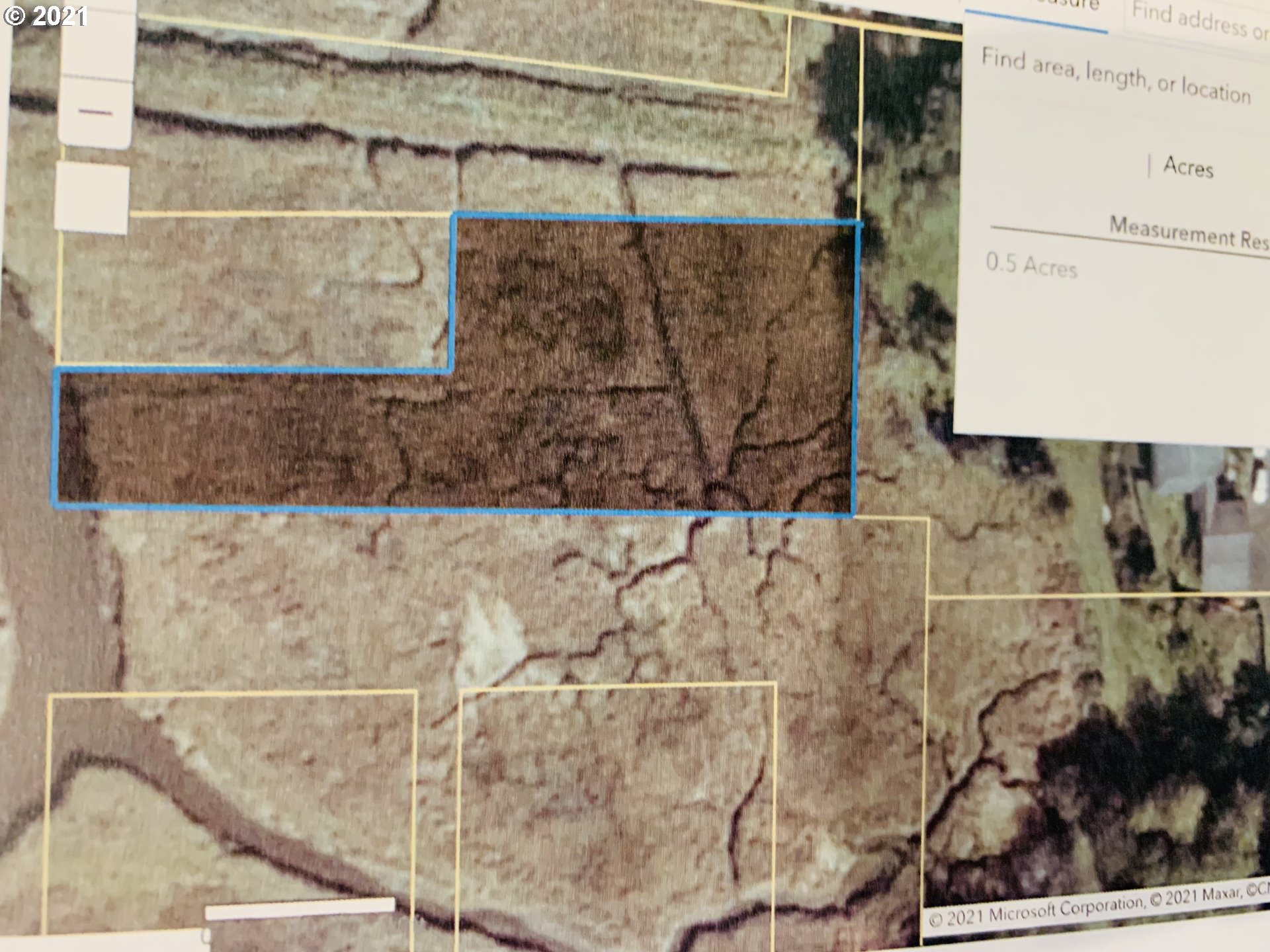
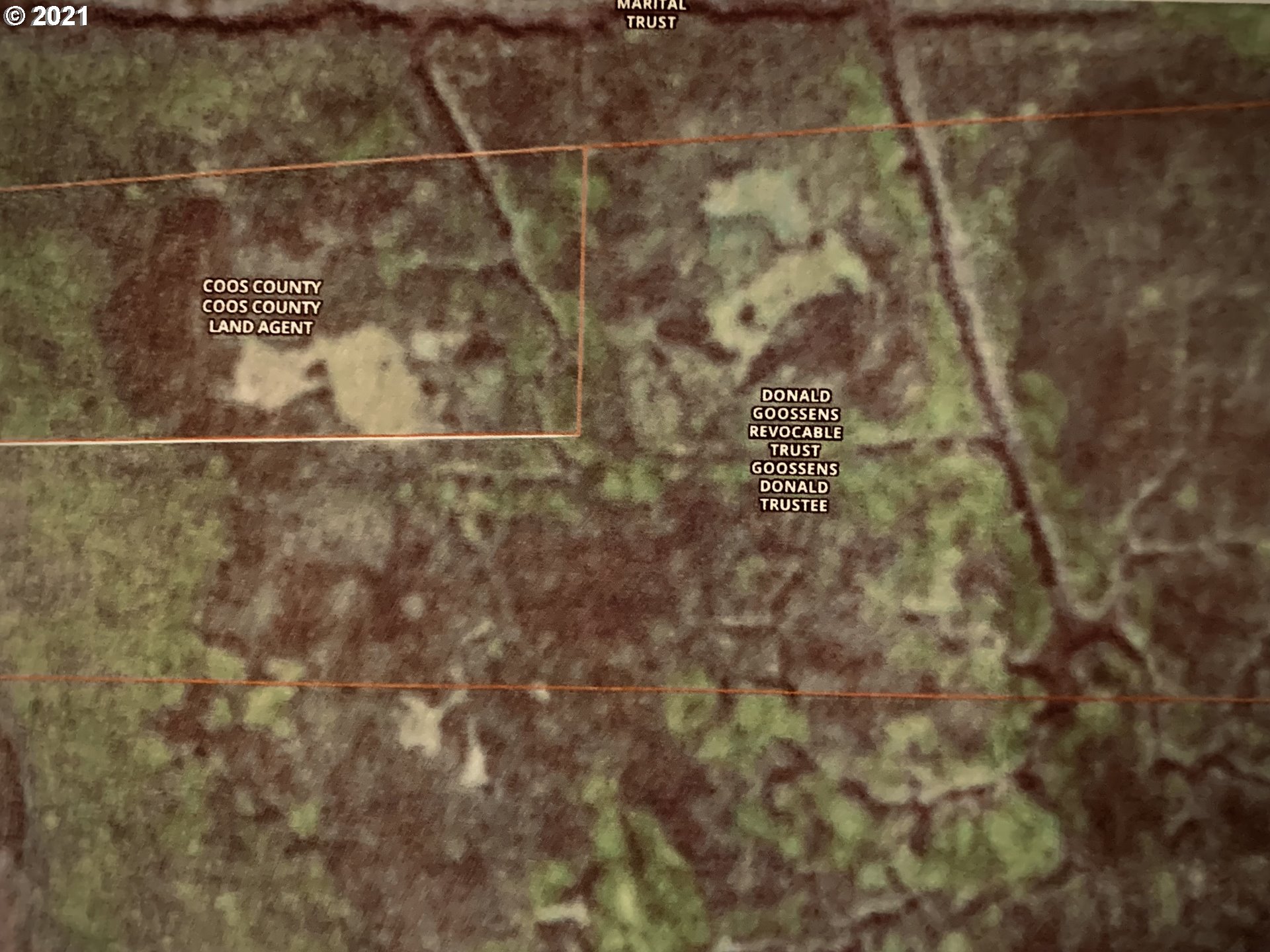
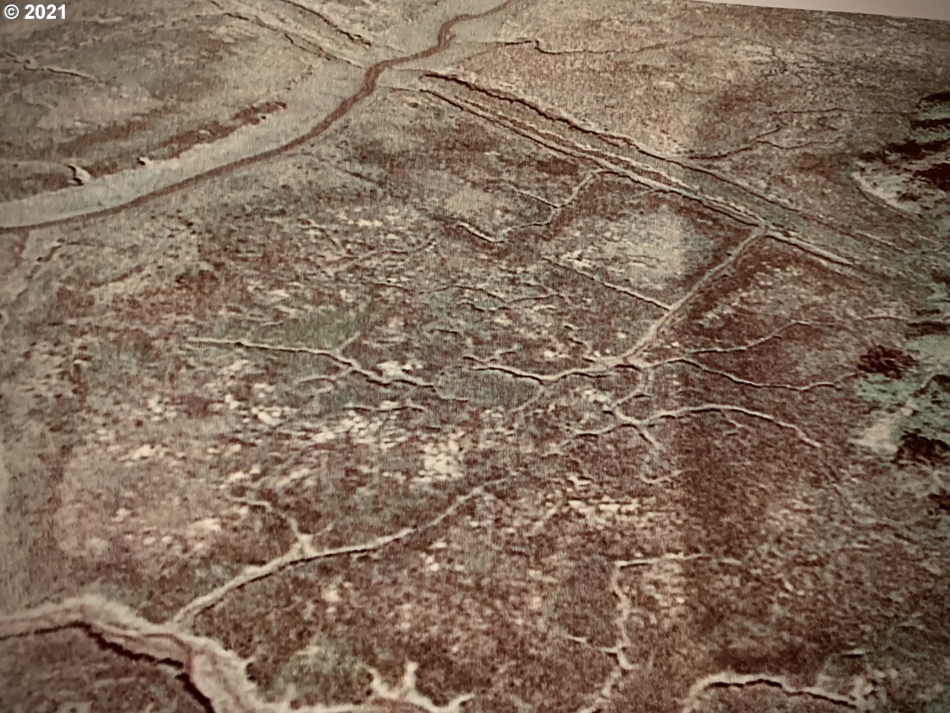
POTENTIAL WETLAND MITIGATION LAND. Land is going to be available at a PREMIUM with the pending Container Terminal Development on the North Spit, on the northside of Coos Bay! This property is relatively close to Oregon Beaches, State Parks, and Oregon Dunes Recreation! This COULD be your Very Own Otis Redding "Sittin' on the Dock of the Bay, Watchin' the Tide Roll Away" PROPERTY! BELOW FLOOD PLAIN. UR-2, CBEMP ZONING. IF YOU HAVE A NEED FOR LANDS FOR WETLAND MITIGATION, OR LOWER TIDE RECREATION, THIS MAY JUST BE YOUR PIECE OF PROPERTY!
Property Details
- View
- Yes
- View details
- City,Creek/Stream
- Waterfront
- Creek
- Lot size (acres)
- 0.5
- Lot size (sq ft)
- 21,780
- Lot size range
- 20,000 SqFt to .99 Acres
- Lot dimensions
- Irregular
- Lot features
- Cleared,Flood Zone,Stream
- Attached garage
- No
- Other structures
- None
- Road surface
- Unimproved
- Zoning
- CBEMP
- County
- Coos
- MLS area
- 260 - Coos County
- Elementary school
- Eastside
- Middle school
- Millicoma
- High school
- Marshfield
- Directions
- None, Wetland Mitigation Lot
- Annual property taxes
- $32
- Tax year
- 2020
- Tax ID
- 4842100
- Listing terms
- Cash
- HOA
- No
- Disclosures
- Exempt
- Bank owned
- No
- Short sale
- No
- Third party approval
- No
- CC&Rs
- No
- Land lease
- No
- Type
- Land
- Subtype
- Mixed Use
- Current use
- Agricultural,Mixed Use
- ADU
- No
- Availability
- Sale
- Listed on
- Aug 27, 2021
- Days on market
- 1909
RMLS # 21226511 · Status: Active
Location
IDAHO DR #300, Coos Bay, OR 97420 · Coos County
Drag to move around. Use + and − to zoom. Open in Google Maps ↗
Nearby Schools
Assigned schools as listed by the seller's agent. Confirm school boundaries with the school district.
Flood and Hazard Risk
Flood zone from FEMA's National Flood Hazard Layer for this location. Hazard ratings are for the surrounding census tract from the FEMA National Risk Index. View the FEMA flood map ›
Price and Tax History
Price history
Property taxes