
 Active
1 / 19
 Listing courtesy of The Neil Company Real Estate, 541-673-4417
NORTH UMPQUA HWY
Glide, OR 97443 · Douglas County
RMLS # 116414881
What's special
RV parkingOffice
Picked out from the listing description. Always confirm with us.
About this home
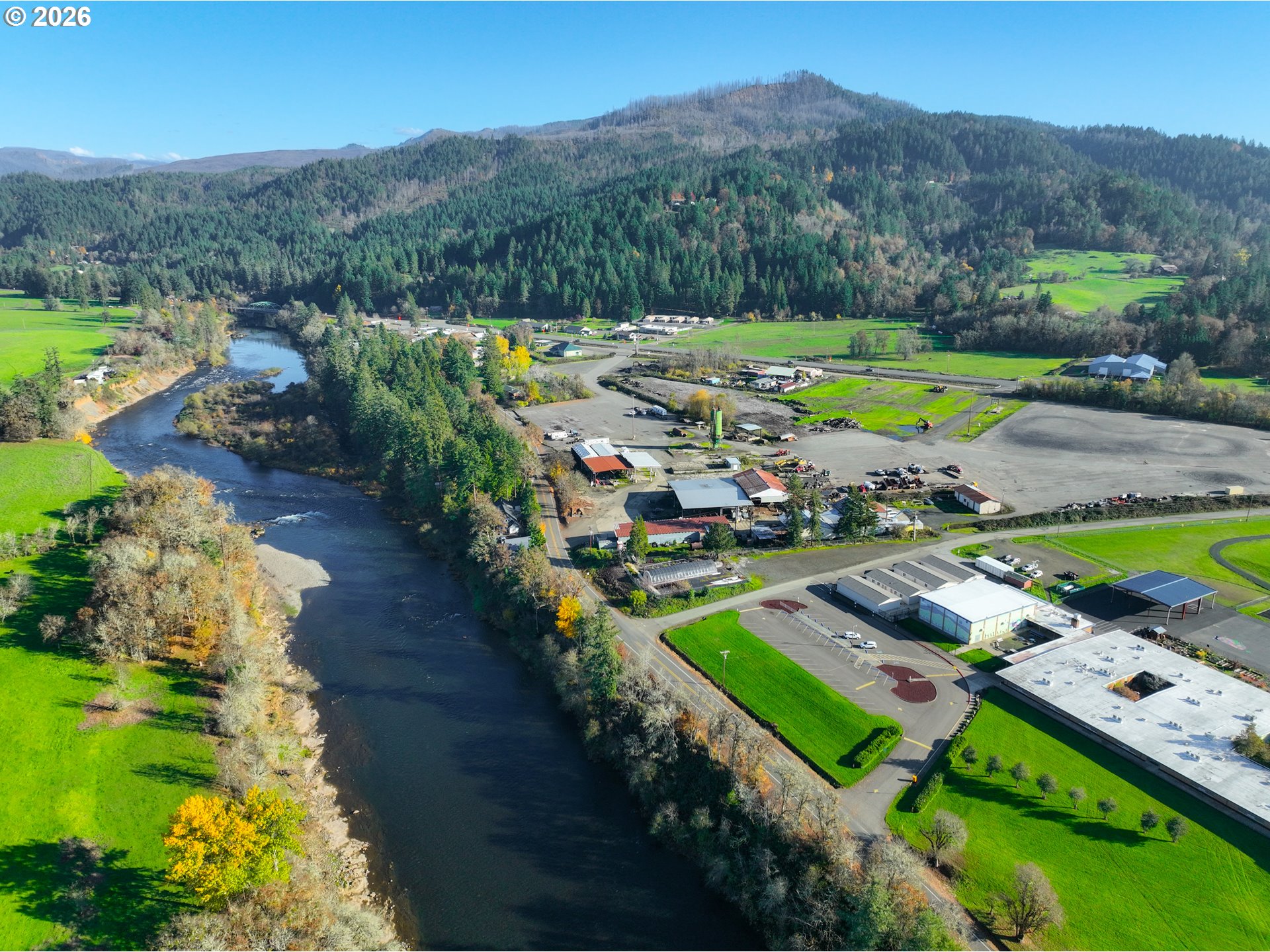
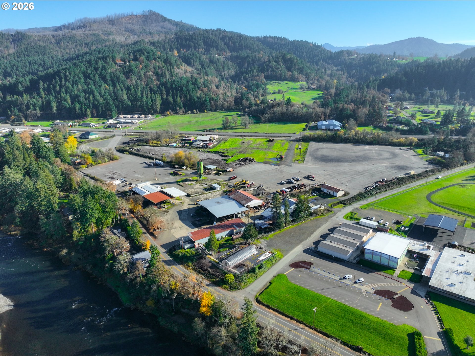
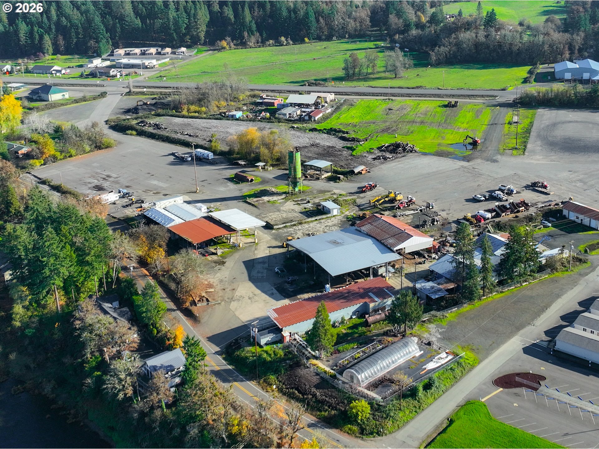
This property offers multiple uses in a prime area of Glide. It features 23.64 acres with multiple buildings and structures. It was once owned by Glide Lumber Company Wood Products Mill, so it is set up to operate as a mill with warehouses, storage units, multi-phase electrical, RV parking, acres of paved ground, and a pond that is fed by the North Umpqua River. Property has both Phase 1 and Phase 2 environmental reports. Most structures are open air. One building has been turned into an office with a mini split system. Square footage of all 7 buildings and office is a rough estimate - Buyer needs to verify. This is a one-of-a-kind property in the heart of scenic Glide.
Property Details
- Total sq ft
- 192,976
- Year built
- 1950
- Condition
- Unknown
- Heating
- Mini Split,None
- Fuel
- Electricity
- Roof
- Metal
- View
- Yes
- View details
- Mountain(s),Trees/Woods
- Lot size (acres)
- 23.64
- Lot size (sq ft)
- 1,029,758
- Lot size range
- 20 to 49.99 Acres
- Attached garage
- No
- Parking
- On Site,Paved
- Water
- Public Water
- Sewer
- Public Sewer
- Road surface
- Paved
- Zoning
- M-3
- County
- Douglas
- MLS area
- 255 - Douglas Co: Glide/east of Roseburg
- Directions
- East on Hwy 138E/North Umpqua Hwy to Glide, property on left
- Annual property taxes
- $7,819
- Tax year
- 2025
- Tax ID
- R136717
- Listing terms
- Cash
- Bank owned
- No
- Short sale
- No
- Third party approval
- No
- Type
- Commercial Sale
- Subtype
- Industrial
- Current use
- Industrial
- Listed on
- Jan 19, 2026
- Days on market
- 303
RMLS # 116414881 · Status: Active
Location
NORTH UMPQUA HWY, Glide, OR 97443 · Douglas County
Drag to move around. Use + and − to zoom. Open in Google Maps ↗
Flood and Hazard Risk
Flood zone from FEMA's National Flood Hazard Layer for this location. Hazard ratings are for the surrounding census tract from the FEMA National Risk Index. View the FEMA flood map ›
Price and Tax History
Price history
Property taxes